![]() |
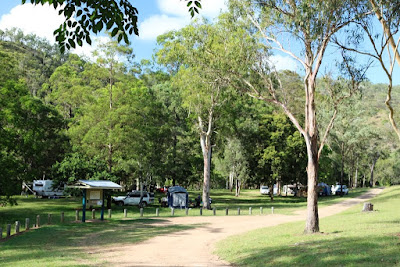
| Peach Trees Camping Area. |
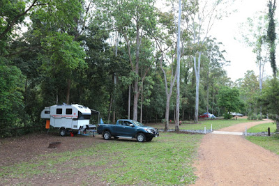
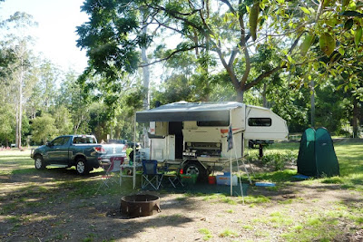
Peach Trees is 43 km north of Kilcoy on a sealed road with the last 3 km a good unsealed section into the campground. The first thing you notice about Peach Trees is the number of kangaroos lazing about the grassy camping area. Pets are not permitted. There are four new amenities blocks with flushing toilets but no showers. Non-potable water taps and fire pits are scattered throughout the camp ground and there are also a few tables and wood-fired BBQ’s. There is Optus phone reception but no Telstra reception. Standard QLD National Park fees apply. Either pre-book before arriving or there is a public pay phone near the first amenities block. I must admit that I stood in front of the pay phone and realized that I have no idea how to use a pay phone or what coins it takes!![]() |
| Pay Phone at Peach Trees Camping Area |
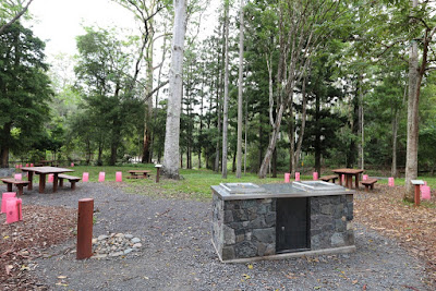
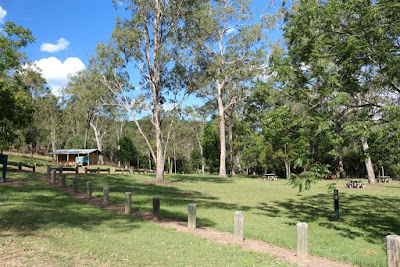
The Day Use Area is a cordoned off section within the campground which has tables and BBQ’s.
![]() |
| Peach Trees Day Use Area. |
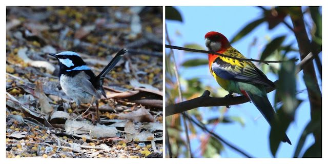
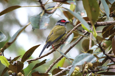
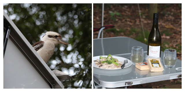
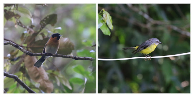
We took care to set up in an area with good shade as the temperature was predicted to reach 36 C while we were there. We saw more birds in the first two hours at Peach Trees than we had for our whole stay at Benarkin State Forest. Our site overlooked the path on the other side of Yabba Creek and we were pleasantly surprised to see Yellow-tailed Black Cockatoos, Satin Bowerbirds and Bell Miners from our camp. Large numbers of Sulphur Crested Cockatoos were flying overhead.![]() |
| Yellow-tailed Black Cockatoos |
![]() |
| Bell Miner |
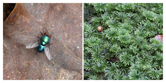
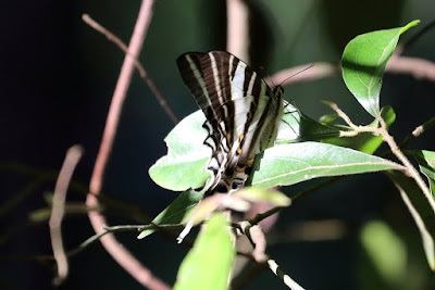
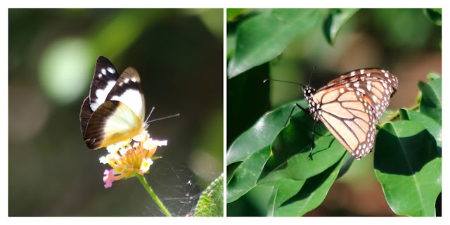
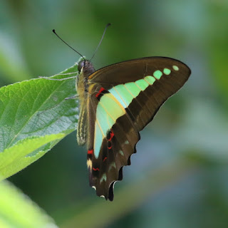
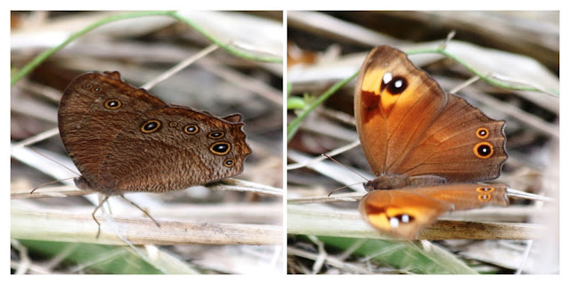
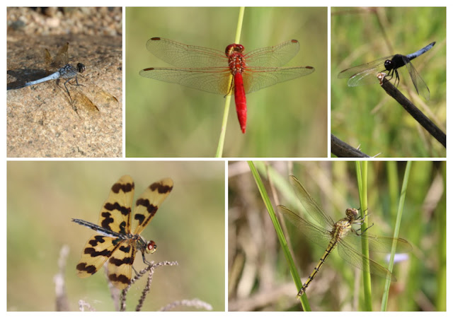
There were less butterflies here than at Benarkin but they were mostly the same types: Wanderer, Lesser Wanderer, Glasswing, Common Crow, Evening Brown and Orchard Swallowtail.
![]() |
| Wanderer Danaus plexippus |
There are three walking tracks leaving from the campground: Yabba Creek Circuit, Araucaria Circuit and Eugenia Circuit. We also liked to walk to the causeway just before the entrance to the camp ground. The first morning we walked them all in one continuous circuit and on the following days we just redid our favourite parts.
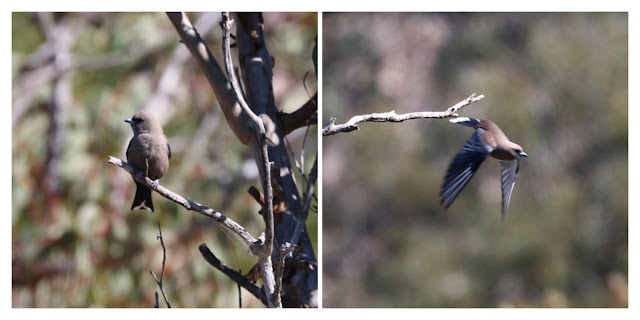
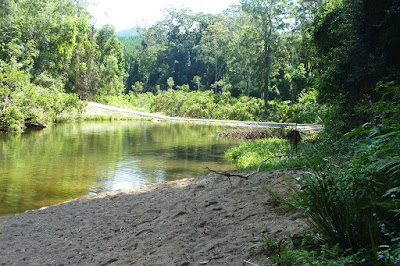
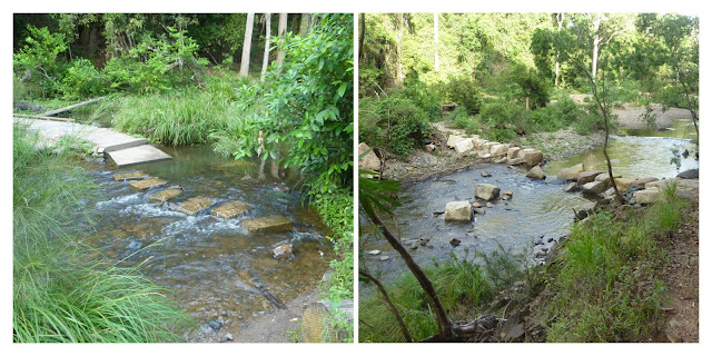
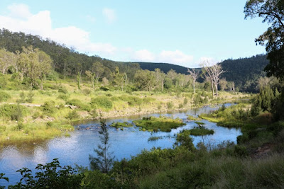
Causeway: The causeway proved a great spot to check out in the early morning or late afternoon. We regularly saw both Azure and Sacred Kingfishers fishing above the creek and there were lots of juvenile Eastern Water Dragons sunning themselves at the waters edge. We saw many small birds in the brush near the causeway.
![]() |
| Azure Kingfishers at the causeway. |
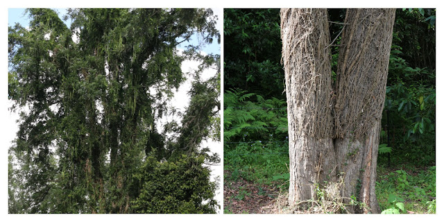
Araucaria Circuit is a 4.5 km, Class 3 walk. This walk starts just over the swing bridge. At first it climbs through a dry eucalypt forest before entering a cool vine forest of young Hoop and Bunya Pine then returning via the eucalypt forest again.![]() |
| Araucaria Circuit |
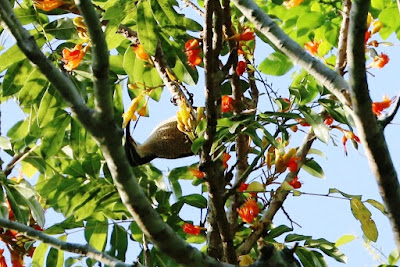
![]() |
| Scarlet Honeyeater on the Araucaria Circuit |
When we left Peachtrees Camping Area we stopped at the Jimna Fire tower for a quick look. ![]() |
| Jimna Fire Tower |
Bird List:
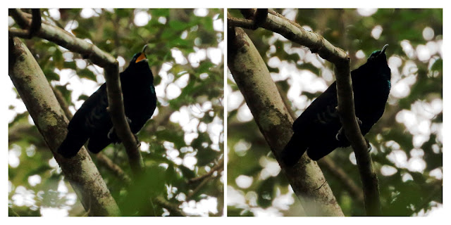
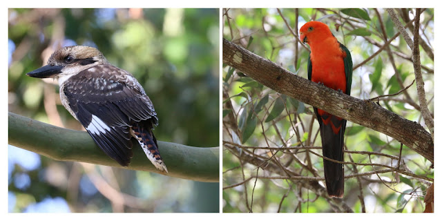
Australian Brush Turkey, Australian Wood Duck, Nankeen Night Heron, Topknot Pigeon, Brown Cuckoo-Dove, Wonga Pigeon, Yellow-tailed Black Cockatoo, Sulphur-crested Cockatoo, Rainbow Lorikeet, Australian King Parrot, Pale-headed Rosella, Fan-tailed Cuckoo, Pheasant Coucal, Tawny Frogmouth, Dollarbird, Azure Kingfisher, Sacred Kingfisher, Laughing Kookaburra, White-throated Treecreeper, Variegated Fairy-wren, White-browed Scrubwren, Yellow-throated Scrubwren, Brown Gerygone, Brown Thornbill, Noisy Friarbird, Blue-faced Honeyeater, Bell Miner, Noisy Miner, Lewin's Honeyeater, White-naped Honeyeater, New Holland Honeyeater, Eastern Spinebill, Scarlet Honeyeater, Eastern Whipbird, Eastern Yellow Robin, Grey Shrike-thrush, Golden Whistler, Grey Fantail, Rufous Fantail, Willie Wagtail, Leaden Flycatcher, Black-faced Monarch, Magpie-lark, Spangled Drongo, Olive-backed oriole, Australasian Figbird, Satin Bowerbird, Regent Bowerbird, Varied Triller, Grey Butcherbird, Australian Magpie, Pied Currawong, Torresian Crow, Welcome Swallow, Red-browed Finch, Silvereye, Bassian Thrush.